Geophysical Survey and Remote Sensing Techniques
Geophysical Survey and Remote Sensing Techniques introduces students to the use of these technologies in archaeology. This course discusses the methods, theories, and applicability of geophysical survey and remote sensing techniques to archaeology. Topics will include a brief history of geophysics and remote sensing as it is used in archaeology, basic scientific principles related, and examples of archaeological projects utilizing geophysics and remote sensing.
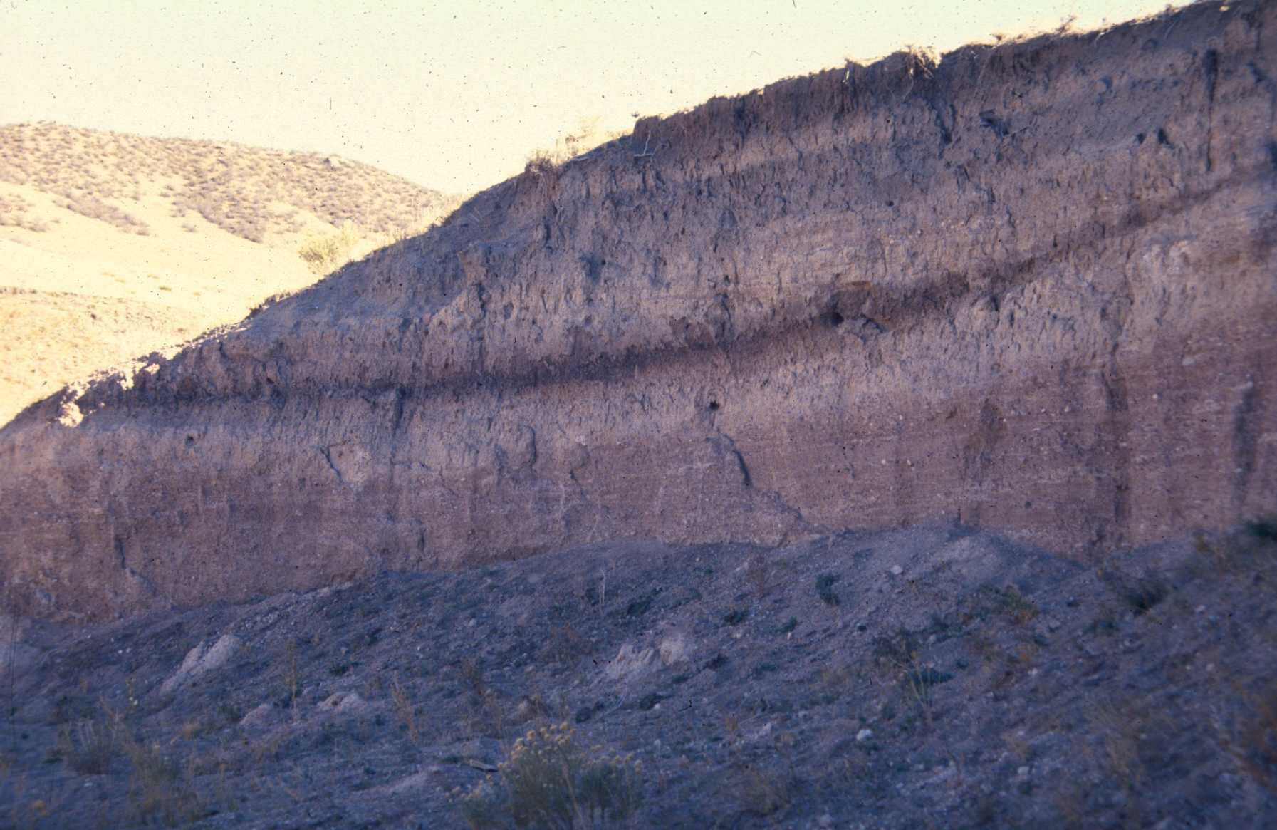
Stratigraphy shown in a cut bank.
Class Outline
- An Introduction to Geophysical Survey and Remote Sensing
- Geophysical Survey vs Remote Sensing - similarities and differences
- Types of Geophysical Survey
- Magnetometry
- Electrical Resistivity
- Ground Penetrating Radar
- Metal Detecting
- Types of Remote Sensing
- LiDAR
- Aerial Photography
- Types of Geophysical Survey
- Applicability to Archaeology and Case studies